The Mystery of Antarctica on Google Maps: Why Can’t You See It?

Have you ever tried to search for Antarctica on Google Maps? Maybe you were planning a trip to explore the southernmost continent of our planet, or maybe you were just curious about what it looks like. However, you might have noticed that Google Maps doesn’t show any details about Antarctica.
Contents
Why Can’t You See Antarctica on Google Maps?
The simple answer is that Google Earth and Google Maps have a policy of not showing high-resolution imagery of the poles. This decision was made due to concerns about the impact of high-resolution images on the environment and wildlife in Antarctica. Many countries have agreed to limit the use of high-resolution satellite imagery in this region to protect the delicate ecosystem.
Besides environmental concerns, there are also technical reasons why Google Maps doesn’t show Antarctica. The service uses a Mercator projection, which means that high latitudes are heavily distorted. This distortion makes it difficult to represent the area around the poles accurately without creating significant visual artifacts.
Another reason why you can’t see Antarctica on Google Maps is that there isn’t much infrastructure on the continent. There are no major cities or roads, and the few research facilities are located far from each other. This lack of infrastructure makes it difficult to collect high-quality imagery and data that could be used to create a detailed map of Antarctica.
Why Is Antarctica So Important?
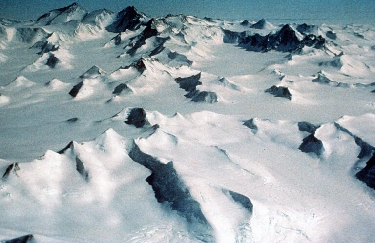
Antarctica is one of the most remote and pristine environments on Earth. It is the coldest, driest, and windiest continent, and it is covered by a thick ice sheet that contains about 90% of the world’s fresh water. The region is also home to unique wildlife such as penguins, seals, and whales.
Antarctica is also critical to our understanding of climate change. The ice sheet and the surrounding ocean play a crucial role in regulating the world’s climate. The Antarctic ice sheet stores enough water to raise global sea levels by more than 50 meters, and its melting could have catastrophic consequences for coastal cities and ecosystems.
How Can You Explore Antarctica?
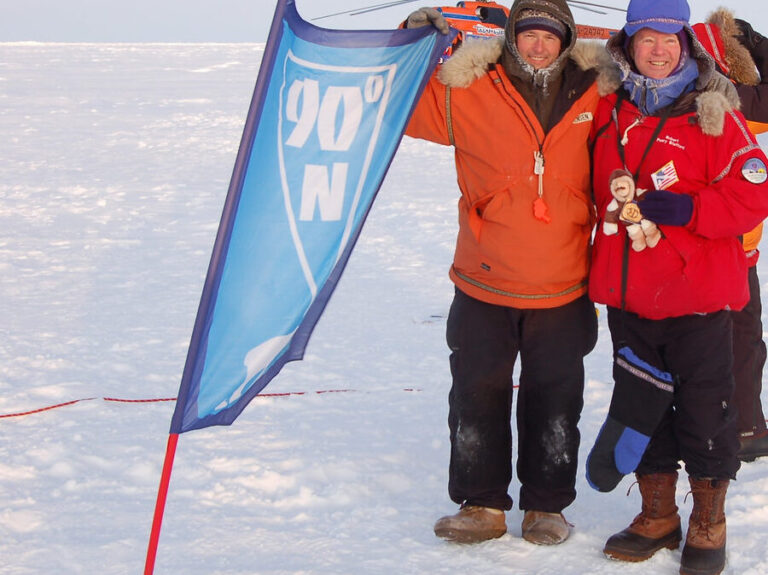
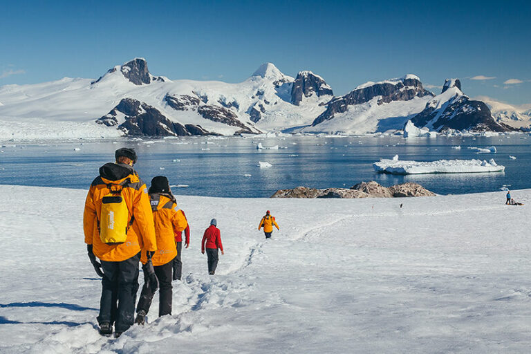
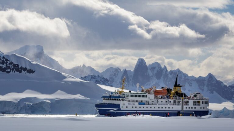
If you are interested in exploring Antarctica, there are several ways to do so without using Google Maps. One option is to join an expedition cruise that takes you to the continent. These trips usually last several weeks and offer the opportunity to see the stunning scenery and wildlife of Antarctica up close.
Another option is to visit one of the research stations located on the continent. While these stations are primarily focused on scientific research, they also offer limited opportunities for tourism. However, keep in mind that traveling to Antarctica can be expensive and requires significant planning.
The Bottom Line
While you can’t see Antarctica on Google Maps, there are many other ways to explore this breathtaking continent. Whether you join a cruise, visit a research station, or simply learn more about the region from books and documentaries, Antarctica is a fascinating and important part of our planet that deserves our attention and protection.